California braces for 2 storms that will cause flooding and snowfall
California braces for 2 storms that might cause flooding and mountain snowfalls so Tourism activities can wait
 Much of California is ready for two storms that may flood roadways and drop over a foot of mountain snow.
Weather forecasters say rain is moving into the San Francisco Bay Area and are monitoring wind gusts of about 50 mph.
The National Weather Service says its is observing a wind gust of 70 mph on a fire road, Marin County in north of San Francisco.
For the first of two “atmospheric river” storm storms, more than 20 million people are under flood watch.
Power lines are likely to come down by damaging gusts, particularly in Northern California, but flooding is the bigger worry.
Robert Hart, a meteorologist with the National Weather Service for the western part of the United States, say; “The main impacts with this first storm system are going to be really a lot of impacts from the heavy rain.”
Around two inches of rain are likely to fall in for Los Angeles on Thursday and an inch and a half in San Diego. Which is still recuperating from floods that occurred on January 22 following the wettest January day on record.
On the other hand, “the effects will be statewide,” as the California Department of Forestry and Fire Protection cautions.
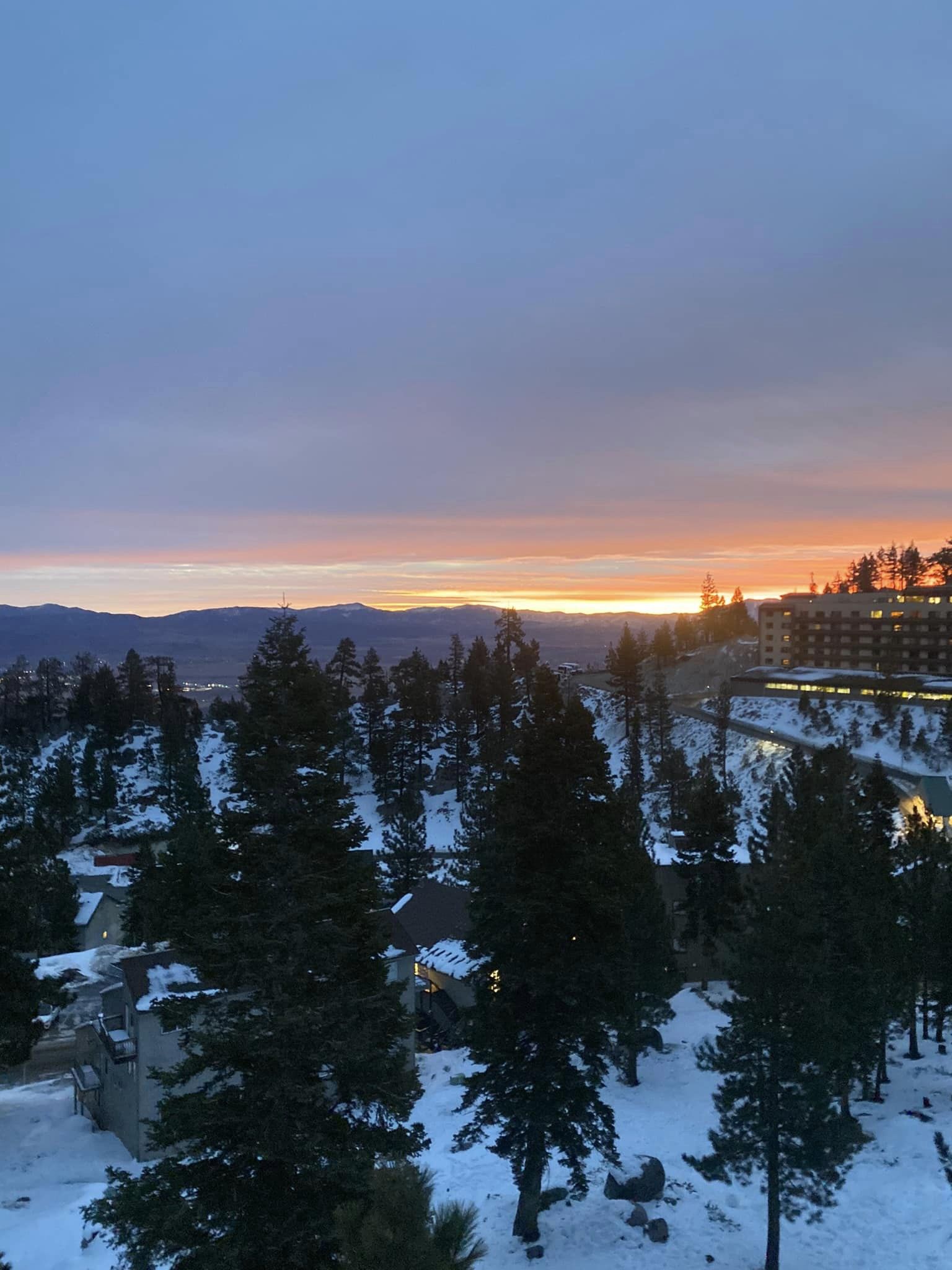
Mountain snow from pair of storms
 According to a weather service advisory, there is a possibility of 8 to 18 inches of snowfall over 7,000 feet and up to 8 inches below that.
On Facebook, the authorities of South Lake Tahoe, a city of roughly 21,000 people located 6,000 feet above sea level, stated,
“Travel over mountain passes only if necessary.” It states that there will be two inches of snowfall every hour.
The Los Angeles area is will get its highest rain on Thursday between approximately 5 and 11 a.m.
This coincides with the morning commute and for the whole area, about 2 inches is likely.
According to forecasters in San Diego, the most intense rain is will begin 9am throughout the afternoon on Thursday.
In the end, the rain in Southern California might also be beneficial.
Much of the region still receives less precipitation than usual for this time of year including San Diego.
Alex Tardy, a senior meteorologist for the weather service in San Diego, states in a video briefing on Monday that “A lot of the Southwest, Southern California, is still much below normal.”
There are two storms approaching, Tardy added.
He adds that the primary precipitation event this week will occur on Monday and Tuesday, with the first one being slower.
These are referred to as atmospheric rivers by meteorologists, who define them as lengthy, slender areas of the atmosphere that move water vapour.
California Department of Water Resources remarks
The California Department of Water Resources, reports that El Niño seasons have produced a 40% reduction in Sierra snowpack levels compared to the average at this time of year, so the snow is much needed.
Michael Anderson, the state climatologist says many of these storms have also been warmer than average. And produced more rain and less snow, a far cry from last year’s near-record snowpack.
The state Office of Emergency Services’ deputy director of crisis communication and public affairs, Brian Ferguson, Describes the storm as a “significant threat” to Californians and predicts that its effects will be felt statewide.
“The effects stretch from the north coast, in close proximity to the Oregon border.” Proceeds all the way down to San Diego in the direction of our border with Mexico,” the speaker states.
There will likely be “above normal precipitation statewide” for the next three weeks. This is especially in Southern California and wind gusts in the mountains might reach 60 to 70 mph, according to the governor’s office.
Compiled by
World Travel News, Gorilla Trekking Uganda and Gorilla Trekking Rwanda